ICAO Annex 3 / WMO No. 306 / FAA
METAR, TAF and aviation weather codes, decoded
Tafrob explains every group of the METAR, the TAF and the other aviation weather reports, one code per page, with the rule behind it (ICAO Annex 3, WMO Manual on Codes, FAA and NWS directives) and how often it really appears. 108 guides, free open-source decoders and calculators.
WindWind group
- DIR
- 240°
- SPD
- 12 KT
- GUST
- 24 KT
- VAR
- 200-280°
Sky and categoryIFR
- VIS
- 3000 m
- T/TD
- -1 / -3 °C
Example reportHover or tab through a group to decode it
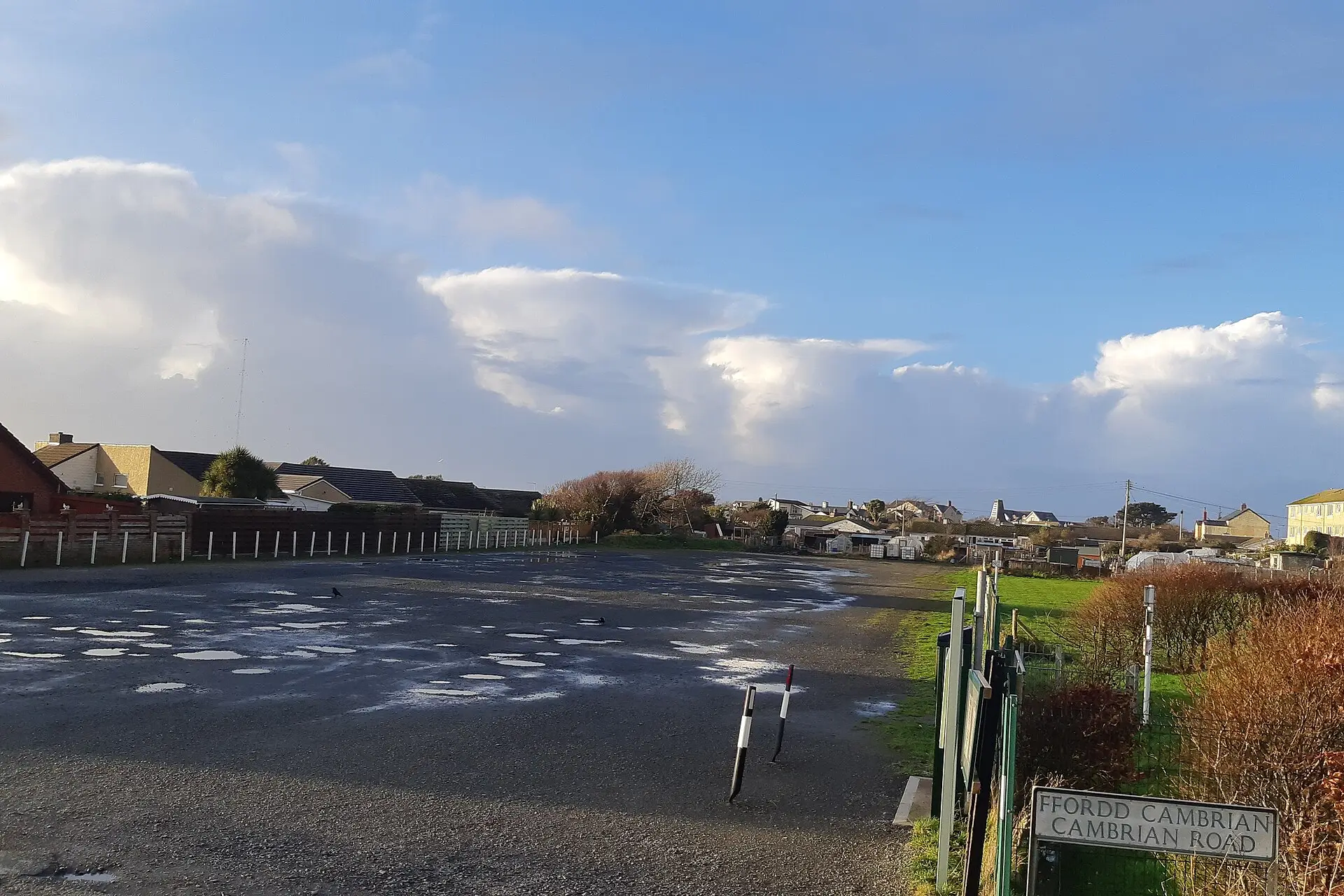
Photo: Peter Broster, CC0, via Wikimedia Commons

First flight
Start here
How to read a METAR, one group at a time
How to read a TAF, group by group
METAR weather codes: the complete list with the coding rules
METAR decoder: from raw report to plain English
TAF decoder: from raw forecast to plain English
TEMPO vs BECMG vs FM: the TAF change groups compared
FEW, SCT, BKN and OVC: cloud cover codes in METAR and TAF
METAR statistics: method, tables and caveats
Open data
What real reports contain
Computed by our open script from 121,001 METARs from 5,526 stations and 12,960 TAFs, NOAA Aviation Weather Center, 18 November 2026 to 19 November 2026.
- 17.2%METARs with any present weather group
- 62%METARs flagged AUTO
- 52.1%TAFs with at least one TEMPO group
- 37%TAFs with at least one BECMG group
- 10.2%Stations reporting in IFR or LIFR
METAR (25)
A METAR is the routine weather observation at an airport, sent every 30 or 60 minutes in a fixed code. These guides take it group by group, in the order the groups appear, and show where the ICAO (WMO) format and the US (FAA/NWS) format differ.
How to read a METAR, one group at a time
The METAR station identifier and date-time group
AUTO, COR and NIL: the METAR report modifiers
The METAR wind group: direction, speed and units
Variable wind in a METAR: VRB and dddVddd
Gusts in a METAR: the G group, PK WND, WSHFT and squalls
TAF (16)
A TAF is the official forecast for an airport, valid 9 to 30 hours. Most reading errors come from the change groups: FM, BECMG, TEMPO and PROB do not mean the same thing and do not combine freely. These guides explain each one with the rules from ICAO Annex 3 and the FAA.
How to read a TAF, group by group
TAF validity period: how to read DDHH/DDHH
FM group in a TAF: the FROM change group explained
BECMG in a TAF: the gradual change group explained
TEMPO in a TAF: temporary fluctuations explained
PROB30 and PROB40 in a TAF: probability groups explained
Weather codes (26)
The present weather group packs intensity, a descriptor and one or more phenomena into a few letters: -FZDZ, +TSRAGR, VCSH. Each page below covers one code: what it means, the observing rules behind it, how it combines with others and how often it actually appears in reports worldwide.
METAR weather codes: the complete list with the coding rules
Intensity and vicinity in METAR: -, +, no sign and VC
VCSH, VCTS and VCFG: weather in the vicinity
MI, BC and PR: shallow, patches and partial fog
DR and BL: drifting and blowing snow, dust and sand
SH: showers in METAR and TAF
Clouds & ceiling (9)
The sky condition groups tell a pilot how much cloud there is and how high it sits. These guides explain the codes, how cloud base is measured and estimated, what counts as a ceiling under FAA and ICAO rules, and how ceilings drive the VFR, MVFR, IFR and LIFR categories.
FEW, SCT, BKN and OVC: cloud cover codes in METAR and TAF
What is a ceiling? The lowest broken or overcast layer
CB and TCU: cumulonimbus and towering cumulus in METAR and TAF
SKC, CLR, NSC and NCD: the no cloud codes in METAR and TAF
Cloud height coding: the three digits after FEW, SCT, BKN and OVC
VV: vertical visibility when the sky is obscured
Other reports (14)
METAR and TAF describe single airports. En route weather comes in other formats: warnings (SIGMET, AIRMET), pilot reports, winds aloft forecasts, broadcasts and charts. Each guide gives the format, who issues it, how long it is valid and how to read a real example.
SIGMET: how to read the en route hazard warning
Convective SIGMET: how to read the US thunderstorm warning
AIRMET: how to read Sierra, Tango and Zulu
G-AIRMET: how to read the graphical AIRMET
GAMET: how to read the low-level area forecast
PIREP: how to read a pilot weather report, field by field
Tools (8)
Every tool runs in your browser, shows its formula and links to its source code (MIT licence). The decoders use the open-source metar-taf-parser library. For training and understanding only: always use official sources for flight decisions.
METAR decoder: from raw report to plain English
TAF decoder: from raw forecast to plain English
Crosswind calculator: crosswind and headwind components
Density altitude calculator: formula and worked example
Cloud base calculator: estimating cumulus height from the spread
Pressure converter: hPa to inHg and the METAR Q and A groups
Open data (10)
Our own numbers, computed from public NOAA data with published scripts, plus the references behind the codes: where to download METARs and TAFs, which parsers to use, how ICAO location indicators work and the regulations that define the format.
METAR statistics: method, tables and caveats
TAF statistics: groups, change indicators and validity
Units in METAR by country: knots, m/s, hPa, inHg and miles
ICAO airport codes: how location indicators work
METAR and TAF data sources: APIs, cache files and archives
Open-source METAR and TAF parsers compared: language, licence and upkeep